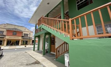
Cartwright Building
Speightstown was formally settled around 1630 and in the earliest days of Settlement was Barbados's busiest port. Ships laden with sugar and other commodities left Speightstown bound directly for London and especially Bristol. For this reason Speightstown is sometimes known as Little Bristol. The quaint town has now become the centre of a tourist area as well as a secondary shopping centre.
The area of Speightstown was the first major port and commercial centre of Barbados. The city is named after William Speight, a member of Barbados' first Assembly during the colonial years as well as the former land owner where the city is located. It has a long and colorful history reaching back to the 17th century when it served as one of the main ports connecting the island with the “mother country,” England. Speightstown was the port that George Ayscue could not capture when dispatched by Oliver Cromwell to quell the insurrection in Barbados in 1649. The Barbadians were loyal to Charles I, and would not accept Cromwell as their protector. For six months Ayscue was unable to land in Barbados, and concentrated attacks on Speightstown were repelled by the small forts along the shore.
The tiny island was landed only with the help of a defector who led Ayscue and his men to land at Oistins Town where they met with representatives of the island and in 1652 signed what has become known as the "Charter of Barbados". The agreement gave Barbados rights and privileges unheard of in any other Island. In particular it guaranteed that Barbados could not be taxed without the consent of a Barbados General Assembly.
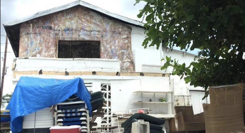
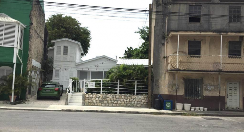
Many historic buildings dating from colonial times, including Arlington House, still remain standing in the town and can be seen mostly along Queen Street, Church Street and Orange Street. Speightstown saw a lot of activity during the reign of the sugar industry and the day of the slave trade. Many slaves would have passed through this town, even if they were to be shipped on further to other islands or America.
The town itself is currently the subject of an archaeological research project, the Speightstown Community Archaeology Project (SCAP), which was established in 2010 and involves a collaboration between archaeologists and students of the University of Winchester, the University of the West Indies (Cave Hill) and Barbados Museums. To date work has focused upon an historic buildings categorisation of the town, graveyard memorial survey and excavations at the eighteenth-century coastal fort at Maycock's Bay to the north.
Speightstown, a Regional Centre for the northern parishes, features an array of cultural heritage and natural heritage assets. The community
core, located on the sea side of Highway 1B, is anchored by historic Queen Street, boasting one of the most impressive collections of heritage assets in Barbados. Queen Street, along with Church Street and Goddings Alley, also provides an important retail function for this surroungding community. Fort Denmark, an archaeological site situated at the southern extent of the community, further contributes the community’s cultural heritage importance.
The Speightstown community area is also characterized by its significant institutional uses, bookended by the Alexandra School at the south end and a block of institutional and community uses to the north, including the St. Peter Parish Church and a police station. Befitting Speightstown’s role as a Mobility Node for the northern parishes, the institutional block also features a large, modern bus terminal.
In addition to its cultural heritage assets and institutional uses, Speightstown benefits from a host of natural heritage resources. Three gully catchment areas are present in the community core - Heywoods, Goding’s Bay and Speightstown, which discharges to the sea at Salt Pond.
The Heywoods Mangrove Swamp at the northern end of the community is a Natural Heritage Conservation Area, and Fort Denmark at the southern end also features a natural area.
In terms of public spaces, the Speightstown Esplanade is a well-used waterfront space and the beginning of a public boardwalk which extends to the north behind restaurants on Queen Street, also providing coastal protection. South of the Esplanade, the waterfront is quite hidden for much of Speightstown community core. Two playing fields, the Alexandra School playing field and Speightstown Playing Field provide recreational opportunities to local residents, an important function supporting a healthy community.
More Information
Beachfront

